Cyprus
Counter-NAVTEX from Antalya for EUNOMIA: Turkey disputes Heraklion’s authority over the GSI corridor
Turkey has answered the Heraklion NAVTEX for multinational exercises between Crete, Kastellorizo and Cyprus by relaying it from its Antalya station, which it calls the “competent” one. The area lies on the route of the Great Sea Interconnector surveys.

Turkey has answered with its own notice the NAVTEX issued by the Heraklion station for multinational military exercises in the sea area between Crete, Kastellorizo and Cyprus. On Friday, October 16, the Turkish Navy’s Office of Navigation, Hydrography and Oceanography (SHODB) published notice 1018/26 of the Antalya NAVTEX station, which repeats the Greek notice and states that the area belongs to its own area of responsibility.
The text of the Turkish notice says that “the notice numbered HA29-1230/26 of the Heraklion NAVTEX station, concerning an area within the Turkish NAVTEX service area, was relayed by the competent Antalya NAVTEX station for the safety of navigation”. With the wording “competent station”, Ankara directly challenges Heraklion’s authority to issue notices for that sea, while in every other respect it repeats the details of the Greek notice.
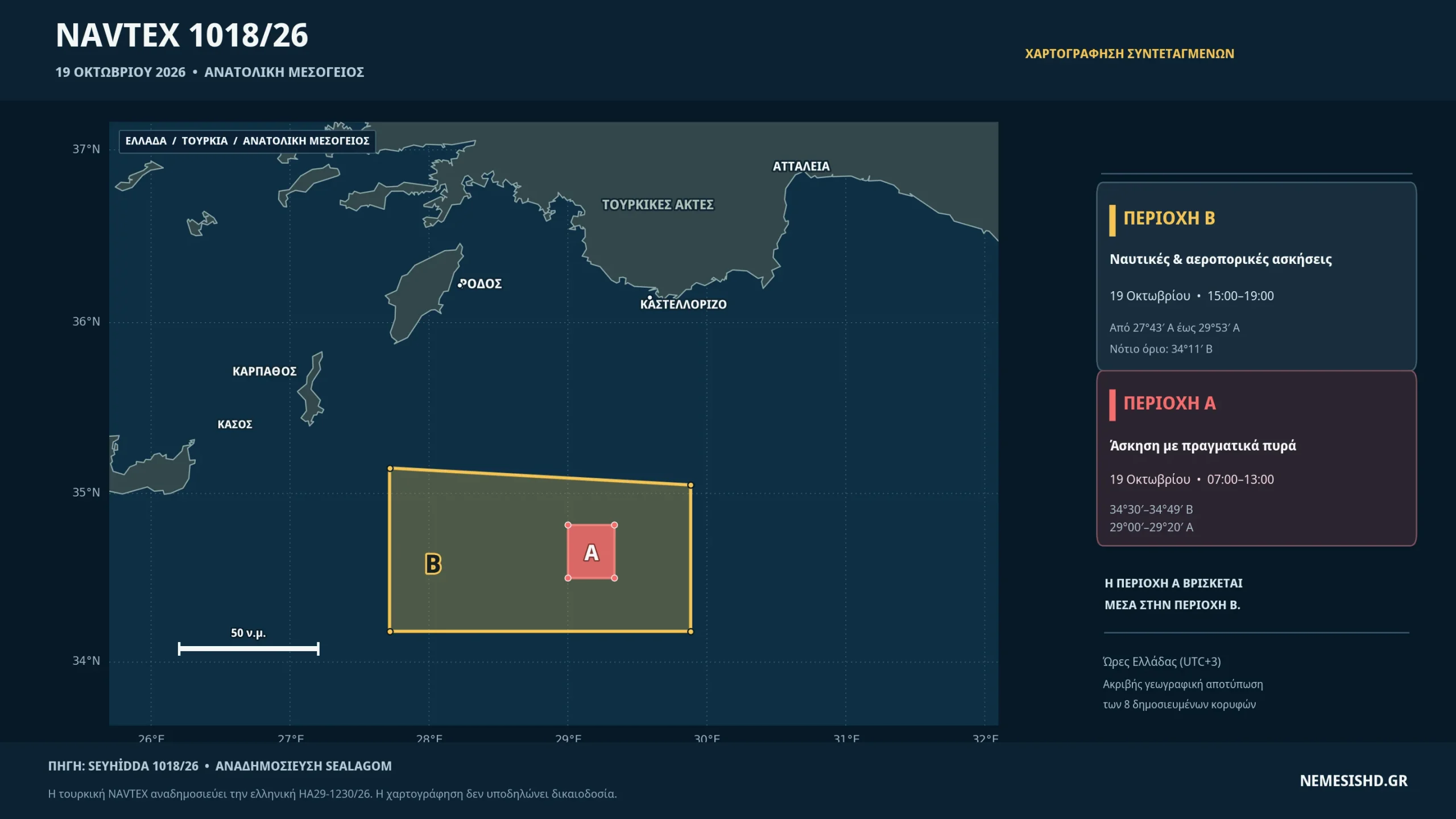
According to the notice, on October 19, from 04:00 to 10:00 UTC (07:00 to 13:00 Greek time), multinational live-firing military exercises will take place in a rectangular area between 34°30′ and 34°49′ north and 29°00′ and 29°20′ east, about 160 kilometres south of Kastellorizo. The same day, from 12:00 to 16:00 UTC, air-naval exercises are planned in a much larger area, from 34°11′ to 35°09′ north and from 27°43′ to 29°53′ east, that is, the sea east of Kasos and Karpathos and south of Rhodes. The notice expires at 17:00 UTC the same day.
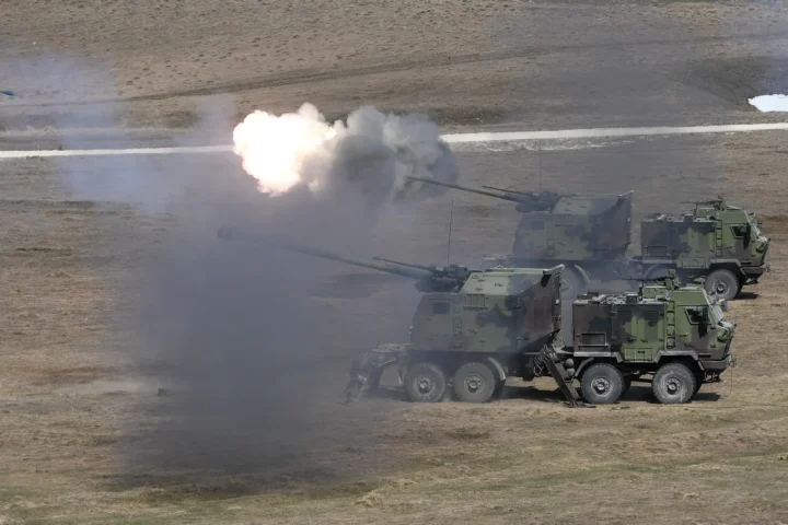
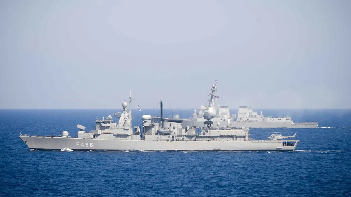
The exercises concern EUNOMIA, the quadrilateral air-naval exercise of Greece, Cyprus, France and Italy, held every year in the Eastern Mediterranean under the QUAD initiative. In 2024 the exercise aimed at upholding UNCLOS, the Law of the Sea convention that Turkey has not signed.
The survey area for the GSI
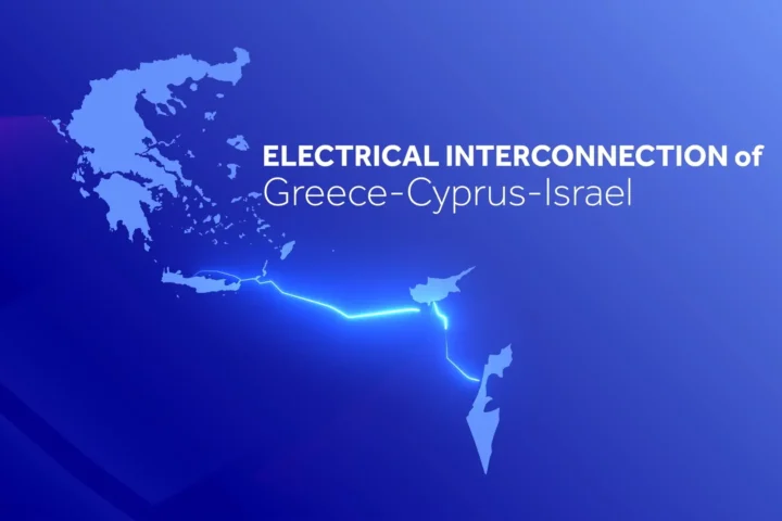
The weight of the Turkish notice lies less in the exercise itself than in the sea it covers. The large area of the air-naval exercises lies in the corridor between Crete and Cyprus where the seabed surveys for the Great Sea Interconnector (GSI) electricity cable are planned. Turkey considers that part of the route crosses a continental shelf it declared to the UN in 2020, and asks for timely written coordination and its consent before any work on the seabed, according to a Hürriyet report. Athens does not recognise the Turkish claims.
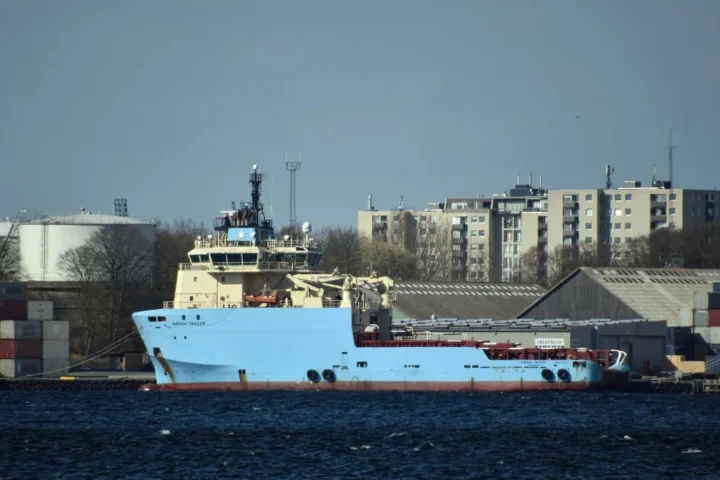
France’s Nexans submitted an application to the Greek authorities on October 8 for the French-flagged vessel Abeille Marengo to carry out seabed surveys between Crete and Cyprus. Hürriyet reports that Athens is expected to complete the licensing within about 15 days and issue the relevant NAVTEX, with work starting in late October and lasting until December 31, 2026. The Coast Guard had already announced the exemption request for the use of the vessel in Greek territorial waters.
By relaying the notice from Antalya, Ankara sends the message that any activity in the area, whether exercise or survey, should be announced by its own station. It did the same in the summer of 2024, when the cable surveys off Kasos stopped after Turkish warships appeared. Today the project has the French Meridiam as majority shareholder, which according to Prime Minister Kyriakos Mitsotakis makes the GSI a “European project”.