Drones
EDA-funded AIRSENSE system flies a drone over land without satellite signals in Portugal trials
A European Defence Agency project has shown that an image-based navigation system can guide a drone over land without GNSS, in trials held during the REPMUS exercise in Portugal.

A drone navigation system funded by the European Defence Agency (EDA) has flown a fixed-wing unmanned aircraft over land without any satellite signal, in trials held in Portugal in September. The agency published the results on 16 October, presenting them as a step towards drones that can keep operating when satellite navigation is jammed, disrupted or denied.
The trials were part of a project called USESXI, short for Unmanned Aircraft Systems Single European Sky eXperimental Integration. They took place during this year’s edition of REPMUS, the Robotic Experimentation and Prototyping using Maritime Unmanned Systems exercise, held in the Troia area south of Lisbon. EDA says it has co-organised REPMUS since 2024.
What was tested
USESXI is a four-year project worth €1.2 million that runs until 2028. It is carried out by two Spanish companies, GMV and Indra. Its navigation system, called AIRSENSE, uses on-board sensors and artificial intelligence to recognise the terrain below the aircraft and work out its position without relying on GNSS, the family of satellite navigation systems that includes GPS and Galileo.
According to EDA, the aircraft flew more than 100 kilometres from its ground control station and reached an altitude of 2,100 metres. The agency describes as a key result that the image-based navigation software ran on board the aircraft in real time. Processing the data after the flight, or on the ground, would depend on a data link, which EDA calls a fragility in demanding frontline conditions.
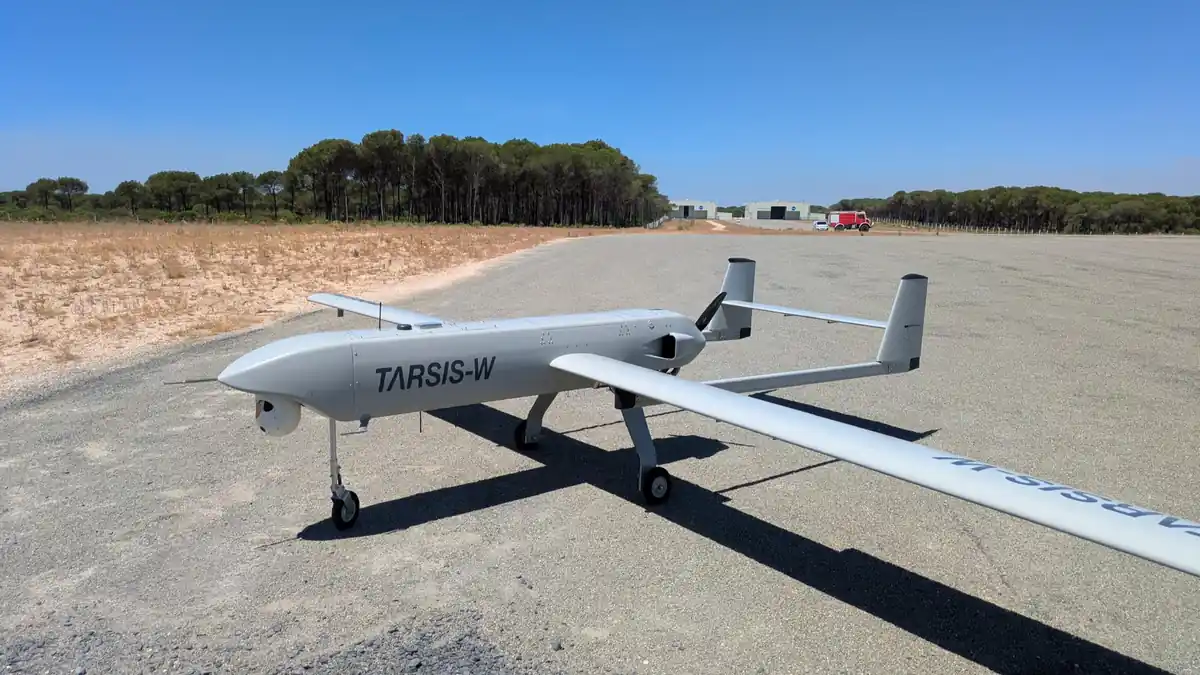
The system was fitted to a commercially available drone that is already in service with the Spanish Army, so the test was run in realistic operating conditions rather than in a laboratory.
Results over land and sea
Over land, EDA says, the system stayed close to the aircraft’s true position without satellite signals, showing that several navigation sources combined with advanced algorithms can give a reliable position when GNSS cannot be trusted. Over the sea it was less effective, because the software had too few landmarks to recognise. The agency says it will concentrate on land operations, in line with lessons from current conflicts, so the limitation does not affect the project’s priorities.
Next steps
The next step, according to EDA, is to develop the technology into a complete system that meets the required standards and is ready for operational use. It will be tested again at the 2027 REPMUS exercise. The agency adds that more resilient autonomous systems are increasingly relevant for surveillance, infrastructure protection and emergency response, and that such technologies could help strengthen the resilience of military operations.
The full description is in the agency’s own announcement.