Drones
Osiris by Delian: the Greek system that guides drones without GPS and has been tested in Ukraine
Delian Alliance Industries’ Osiris navigates drones with cameras and satellite maps instead of satellite signals. The company says it has flown over 3,000 km in Ukraine under active jamming and spoofing.

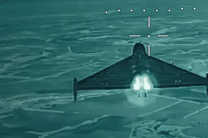
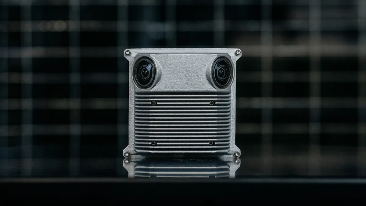
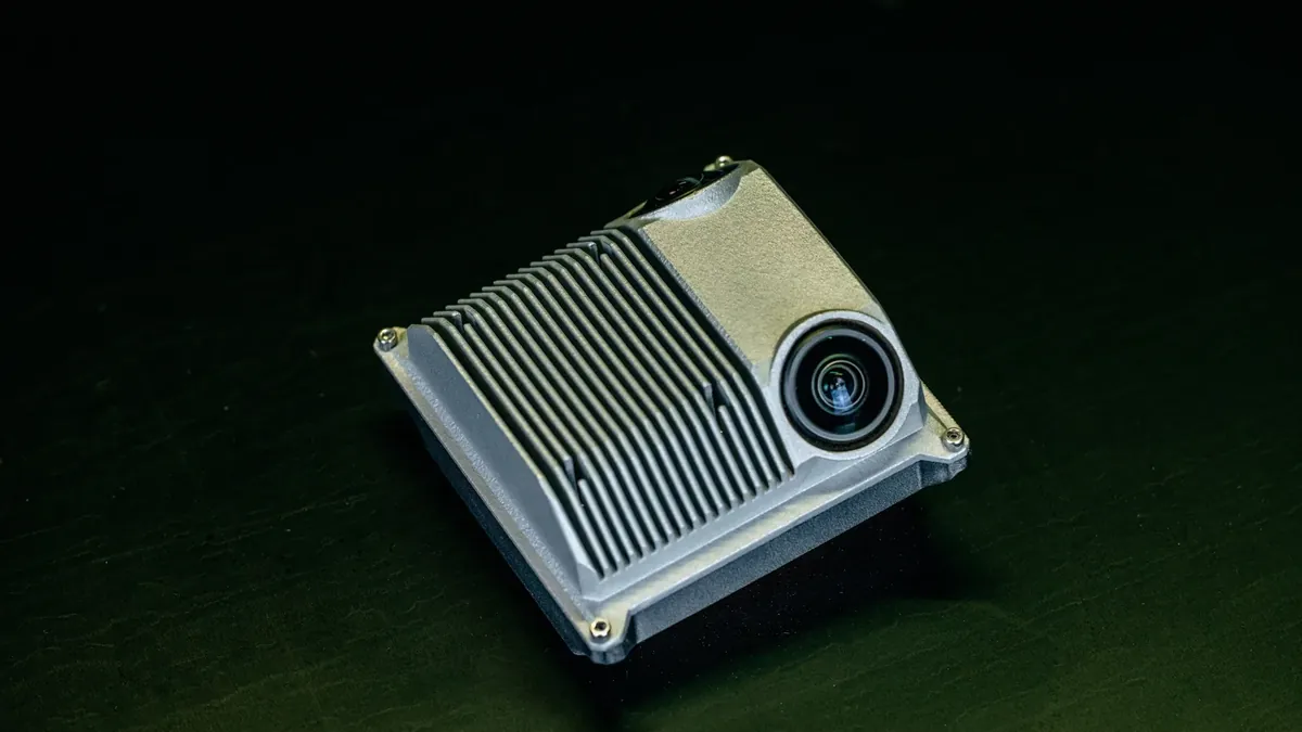
The biggest problem for a drone on the modern battlefield is no longer the enemy missile but the signal it loses. In Ukraine, GPS jamming and spoofing have become routine, and a drone that does not know where it is is just an expensive piece of plastic. This is where Osiris, from the Greek Delian Alliance Industries, comes in: a small system that guides the drone with cameras and satellite maps instead of a satellite signal. We assess it as one of the most mature Greek defence products of the new generation, because it has been tested in real war conditions and not only at exhibitions and presentations.
Operational use in Ukraine
Delian says on its official page that Osiris has flown more than 3,000 kilometres in operational use in Ukraine, under active jamming and spoofing, and stresses that this is not a trial but real missions. According to what Mark Melhorn of the company has published, fifteen test flights in Europe came first, and in March 2026 a team of Delian specialists went to Ukraine. There, drones fitted with Osiris flew dozens of autonomous missions of more than 50 kilometres, at altitudes from 70 to 2,000 metres, with an average error below 20 metres compared with civilian GPS.
The company now operates from London, Kyiv and Athens, close to where its systems are used, and lists customers in NATO, the EU, the United Kingdom and Ukraine. Its official figures for the product are a circular error of 15 metres, daytime operation and a minimum altitude of 70 metres to keep the error bounded; below that altitude the system keeps measuring the drone’s motion without matching to the map. Delian’s British team has also entered the NATO DIANA 2026 programme with Osiris, as the company announced, which opens the door to allied testing and future orders.
The 47-kilometre flight and what it does not tell us
In a post of October 9, Delian showed a 30-minute flight in which the drone covered 47 kilometres with Osiris working out its own position, while GNSS recorded the actual track in parallel as a reference. The error stayed below 7 metres for half the flight time and below 30 metres for 95% of it, and, most importantly, it did not grow as the distance increased. At the end, Osiris’s position was less than 6 metres from the GNSS one. A simple inertial system, by contrast, accumulates error with every minute of flight, and that is the real argument for optical navigation.
The limits of the system are also clear. Today it works only by day, needs terrain with visible features to lock onto the map, and dense cloud or poor visibility limits the cameras. The terrain was removed from the flight video for operational security. None of this undoes the achievement, but it defines where Osiris fits and where it does not. All figures are the company’s own, not those of an independent body.
What Osiris means for Greece against Turkey
The Eastern Mediterranean is already one of the areas with the most recorded GNSS interference in Europe, and Turkey has invested heavily in electronic warfare with Aselsan systems. In a crisis in the Aegean, Greek drones would fly in an environment where GPS cannot be taken for granted. Developing such technology in a company with a strong Greek presence creates the conditions for greater technological and operational autonomy for the Hellenic Armed Forces, provided appropriate terms of access to the software, technical support and handling of the map data are secured.
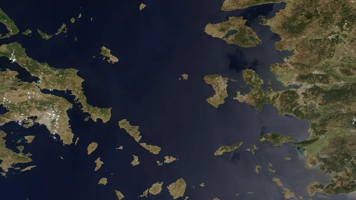
Geography may help. Over open sea optical navigation struggles, because water has no fixed reference points, but the Aegean is full of islands and coastlines that could act as natural landmarks for repositioning, with the short stretches over water covered by the inertial system. This is an operational prospect and not a proven capability: no test of Osiris over the Aegean has been made public, and no order from the Hellenic Armed Forces has been announced to date. Delian is, however, part of the Greek defence-tech push; see also our report on the “Anemogiannis” kamikaze drone boat. A product with operational proof from Ukraine is exactly the kind of solution that could be fitted quickly into Greek drone programmes.
Frequently asked questions about Delian’s Osiris
What is Delian’s Osiris? A Greek navigation module for drones that works out the aircraft’s position with cameras, an inertial sensor and stored satellite maps, without needing a GPS or other GNSS signal.
Which company makes Osiris? Delian Alliance Industries, a Greek defence technology company with offices in Athens, London and Kyiv, led by chief executive Dimitris Kottas. The same company makes the Interceptigon drones and the LAST electronic warfare tower.
Can Osiris be jammed? Not in the way GPS is jammed, because it does not depend on satellite signals and needs no radio emissions to determine its position. That is why it is not vulnerable to conventional GNSS jamming and spoofing. It does not mean the drone cannot be detected or countered by other means.
How accurate is Osiris? The company gives a circular error of 15 metres, while in the Ukraine trials the average error was below 20 metres. In the 47-kilometre flight it published on October 9, 2026, the error stayed below 7 metres for half the time and below 30 metres for 95%. These are the company’s figures.
Has Osiris been tested in Ukraine? Yes. According to Delian, it has flown more than 3,000 kilometres in operational use in Ukraine under active jamming and spoofing.
Does Osiris work at night or over the sea? The company currently rates it for daytime operation. Over open sea optical navigation is harder because fixed reference points are missing, while islands and coastlines such as those in the Aegean could help with repositioning, though no test of the system there has been made public.
Has Greece ordered Osiris? No order from the Hellenic Armed Forces has been announced to date.